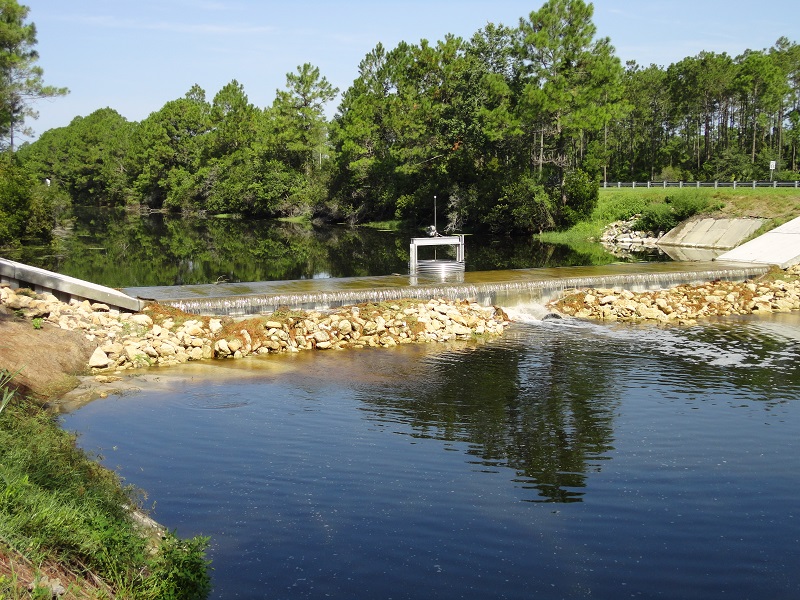
R-1 Surface Water Control Structure
Located just west of Belle Terre Pkwy R-1 displays the upstream water levels for the Royal Palms Waterway that starts at US-1 and runs east between Royal Palms Parkway and the Lehigh Trail.
Shown below is the water level for R-1 Surface Water Control Structure for the past 24 hours. The blue line represents the Designed Normal Water Level which is 22.0 feet, while the red line represents the Designed High Water Level at 24.0 feet.