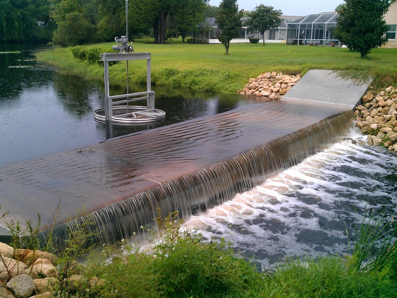
BA-1 Surface Water Control Structure
Located between Bayside Drive and Beachway Drive this control structure displays the water level in the upstream portion of the Bayside Waterway that flows from the Bellaire Waterway SE until it reaches Belle Terre Pkwy.
Shown below is the water level for BA-1 Surface Water Control Structure for the past 24 hours. The blue line represents the Designed Normal Water Level which is 22.5 feet, while the red line represents the Designed High Water Level at 25.2 feet.